Skip to content
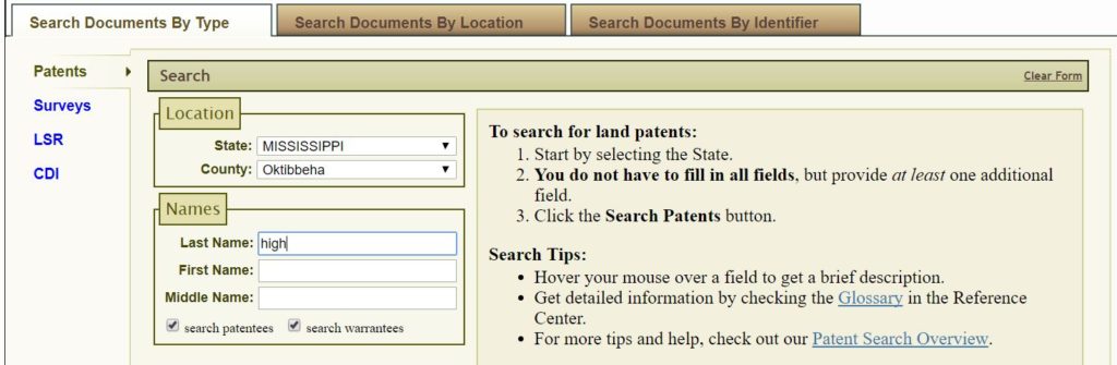
Ever wonder how to locate historical county land. It’s not precise but for research purposes, it’s a start. For the purposes of this example, I’m researching land once owned by Mark Mitchell High, 1805 – 1870 . State = Mississippi County = Oktibbeha Last Name = High First Name = add if the last name is common one in the county (Note: I did NOT add Mark)
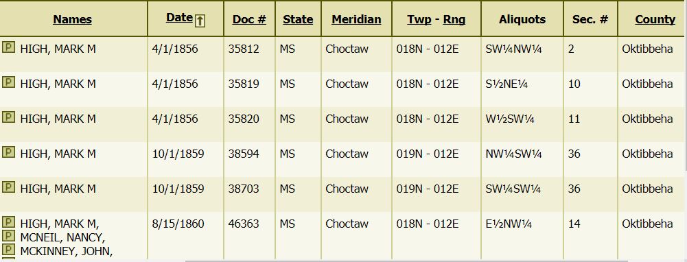
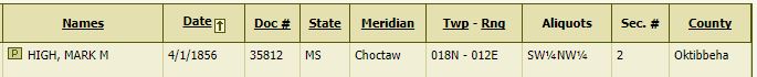
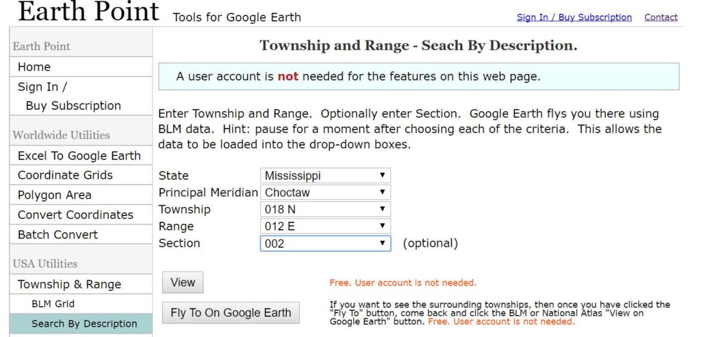
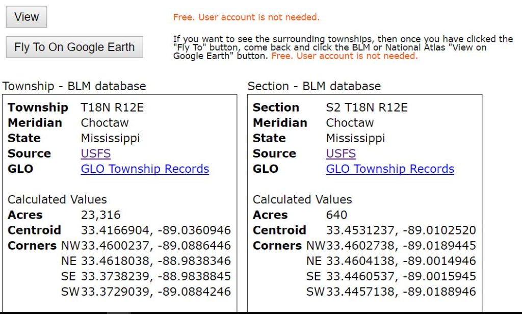
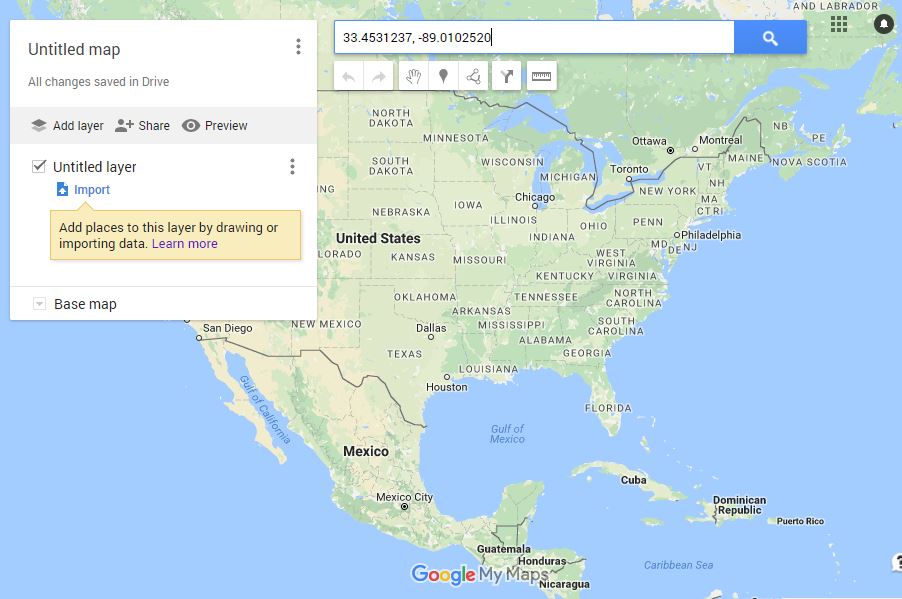
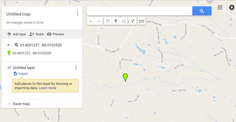
Below, is High’s earliest 1856 patent data Step 2: Go to Earthpoint State = Mississippi Meridian = Choctaw Township = 018N Range = 012E Section = 2 Aliquot is not an option (e.g., SW¼ ¼ Step 3: Click “View” and note the 640 acres and the results: Centroid 33.4531237, -89.0102520
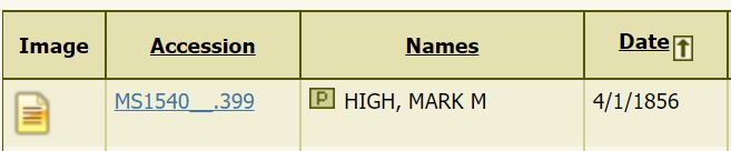
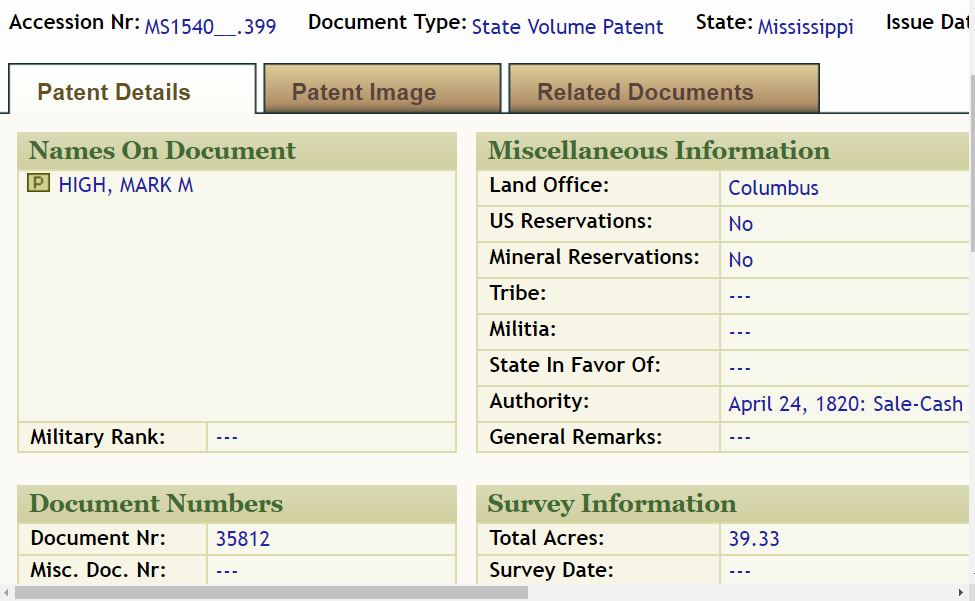
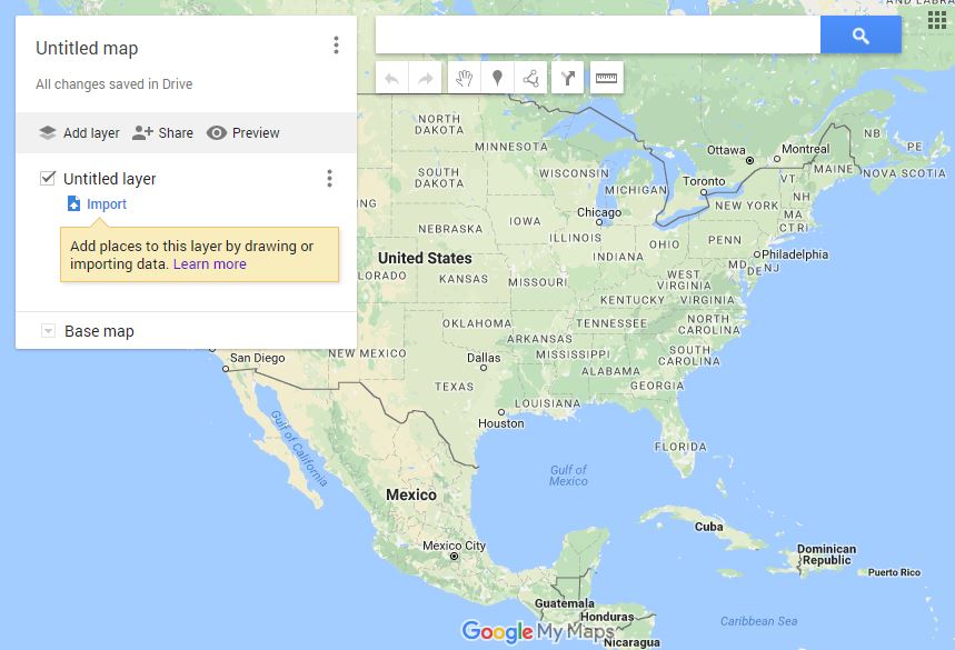
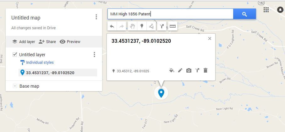
Step 4: Go back to High’s patent results, at BLM, and click on Accession information (e.g., MS1540__399). Notes the number of acres he purchased under “Survey Information”: 39.33 (of the 640 total acres). Step 5: Sign into your Google Drive account (drive.google.com)>click My Drive>click More (at the bottom)>click Google My Maps.In the Search box below , enter the Centroid results: 33.4531237, -89.0102520 And, below, voilá ! Or, as Thomas MacEntee says, “viola”! 😉 Step 6: Click the map marker and click + (plus) to add marker to map.Step 7: Name your mapStep 8: In sum, below are the five map markers for M. M. High. Pretty cool, huh?
Post navigation
error: Content is protected !!